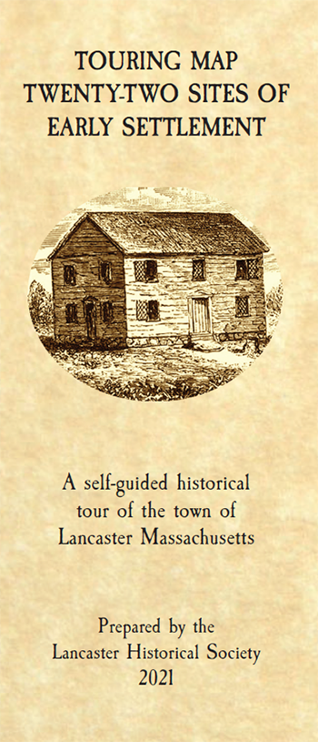
22 Sites of the Early Settlement
A self-guided historical tour of the town of Lancaster Massachusetts
About the Early Lancaster Settlement
Though Lancaster, the oldest town in Worcester County, was officially incorporated in 1653, actual settlement began about a decade earlier.
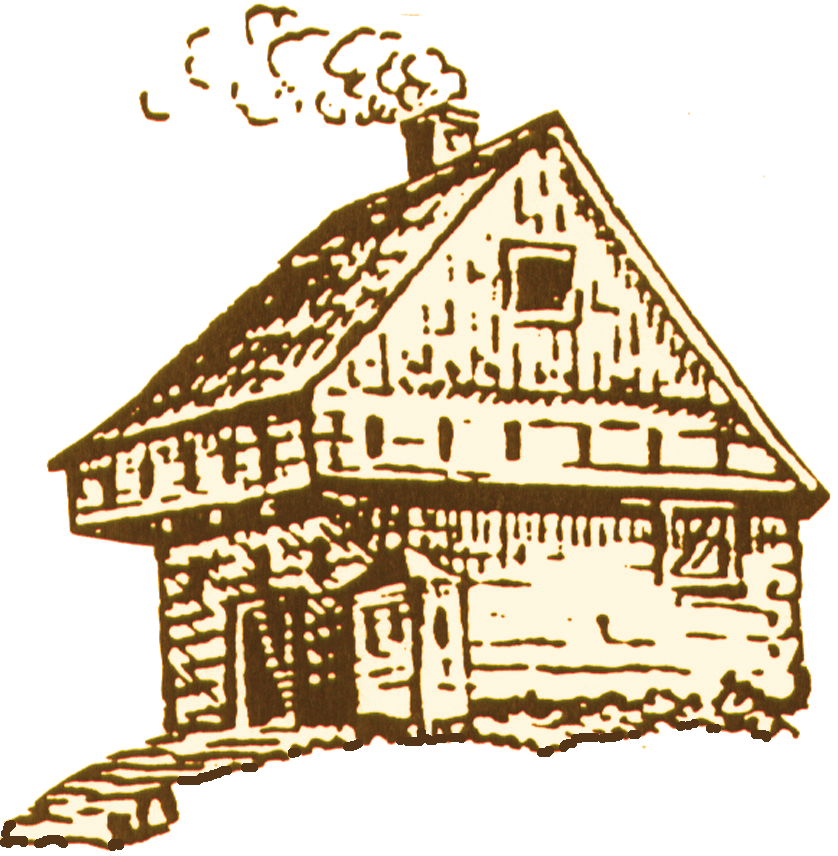
About the same time, the Massachusetts General Court granted a group of ambitious entrepreneurs the right to explore the area in search of iron ore. Though this venture failed, settlement of the “Nashaway Plantation” continued through the boundless energy and perseverance of blacksmith John Prescott, considered to be the town’s founder.
This area, then on the western frontier, was approached by using a trail crossing over Wattaquodock Hill in present-day Bolton. Two Englishmen, with the approval of Sholan, a Native Sachem, built a trading post near the intersection of Native trails on George Hill, in present South Lancaster, to engage in the burgeoning fur trade.
With the signing of a “Covenant”, newly approved residents arrived and took their places. Lands were divided, and, a “Night Pasture” was established for common use. Most importantly, a meeting house was erected on a rise of land south of the “Meeting of the Waters”. As required, a pastor was called to settle among them. Joseph Rowlandson responded and he soon married the daughter of John White, Lancaster’s wealthiest resident. The couples garrison house was located to the west of “Meeting House Hill” and the Reverend’s pastorate continued for about twenty years.
Meanwhile, the enterprising John Prescott wasted no time in building both a gristmill and a sawmill along the Nashua. Settlers as far away as Sudbury made the trek to have their corn ground into meal. Original log structures began to be replaced by those erected using mill cut boards. These visible signs of permanent settlement were not lost on the Natives and, sadly, the peaceful co-existence of earlier times gave way to rising tensions and hostility.
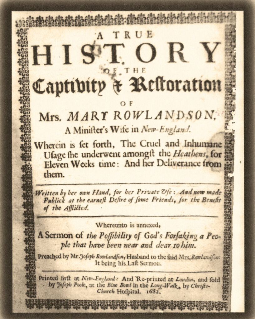
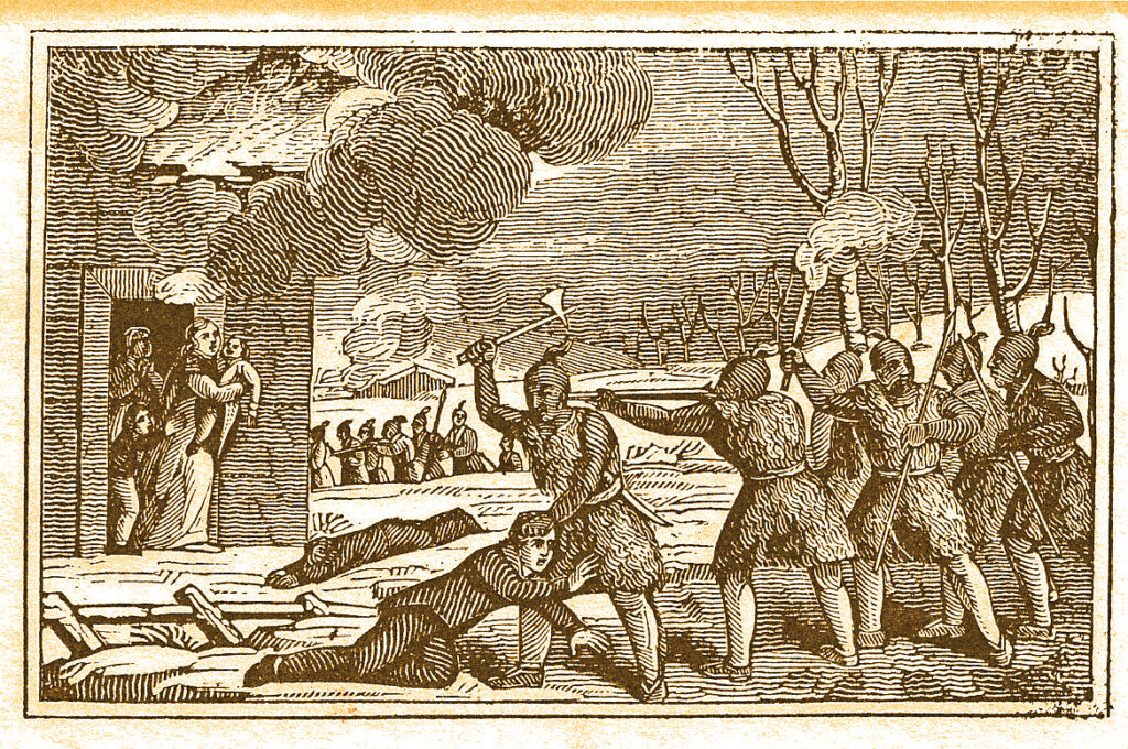
On February 10, 1675-6, Lancaster was attacked during King Philip’s War. Among others, Mistress Mary Rowlandson, the minister’s wife, was taken captive. After her redemption in Princeton, MA, she wrote an account of her experiences among the Natives. This narrative, which has never been out of print, may be thought of as America’s first “best-seller” written by a woman.
Lancaster was abandoned for about four to five years. Though resettled, the area remained vulnerable into the 18th century. Surprise attacks continued as the struggle for the North American continent continued between European powers. In 1704, a second meeting house was burned to the ground. Soon, a third meeting house was built on “Bridecake Plain” now called the “Old Common”. Some of the population shifted eastward of the Nashua as it was considered safer in the event of future attack. So closes the seventeenth century and Lancaster’s earliest days of settlement.
Your Tour
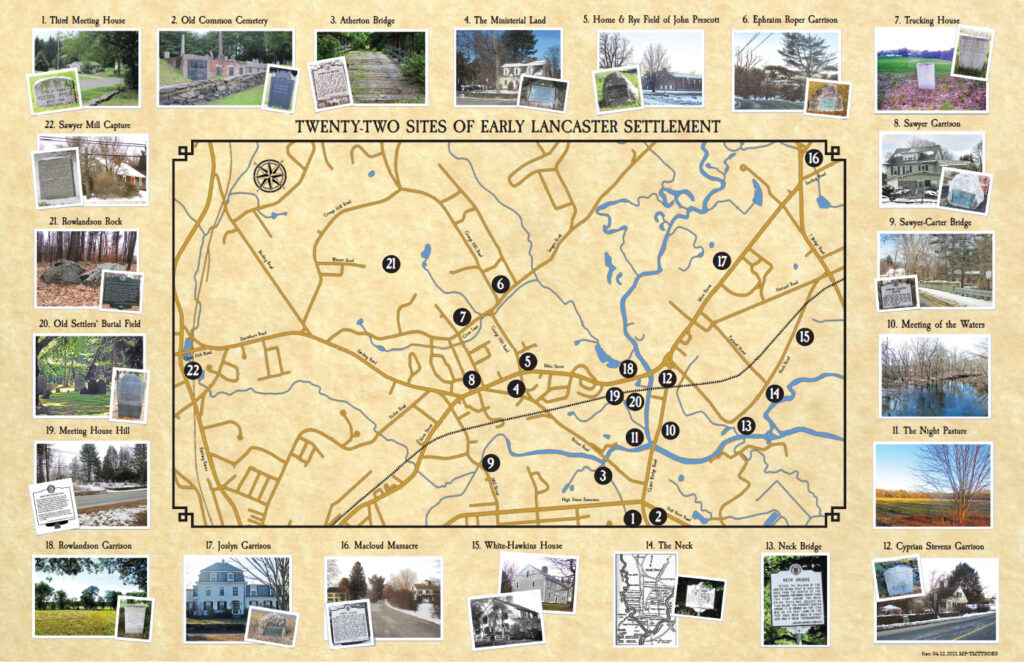
We invite you to visit “Twenty-two Sites of Early Settlement” as identified in this brochure at your leisure and in any order you wish. Most sites can be viewed from the sidewalk or the street. We ask that you be respectful of private property and avoid trespassing. When visiting our cemeteries located on town land, again be respectful and remember that these are very special places. Please, take only photographs and leave only footprints. Thank you very much! We hope you enjoy your tour.
Map References
- Third Meeting House – This meeting house was built in 1706 and occupied until 1743.
- Old Common Cemetery – This is Lancaster’s second oldest cemetery located on land given by a member of the Wilder family.
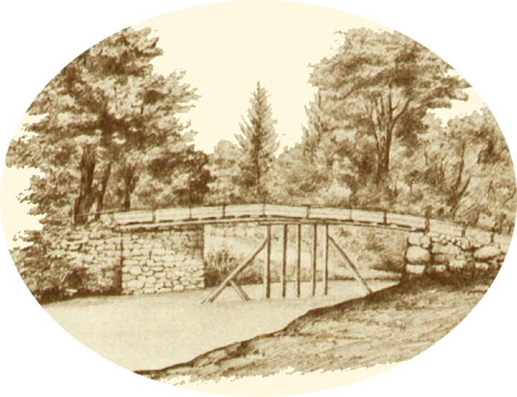
- Atherton Bridge – This early bridge site is named for James Atherton, a signer of the petition for incorporation in 1652.
- Ministerial Land – This land was occupied by three early ministers, one killed by Natives, another shot by “friendly fire” and the third surviving to serve a long pastorate.
- Home and Rye Field of John Prescott – This area was occupied by Lancaster’s persevering and industrious “Founder”.
- Ephraim Roper Garrison – Though he escaped death during King Philip’s War, Roper, his wife and a daughter were slain during the attack of September 11, 1697.
- Trucking House – Built in 1643, this trading post was the first site of commerce between the English and Natives in the Nashua Valley.
- Sawyer Garrison – This was a place of refuge for settlers who survived the attack of February 10,1675/1676 before total abandonment of the town.
- Sawyer-Carter Bridge – This was one of the earliest sites used for a variety of milling enterprises through the centuries.
- Meeting of the Waters – This is the place where the north and south branches of the Nashua merge. In earliest times, it was a Native fishing and planting site.
- Night Pasture – This grassy, flat land along the river was fenced for the mutual protection of the early settlers’ livestock from marauding predators. This was Lancaster’s first “Common” area.
- Cyprian Stevens Garrison – This garrison was recovered by a relief force arriving from Marlborough during the King Philip’s War attack.
- Neck Bridge – An early bridge nearby once crossed the Nashua along this road which was of the very earliest in Lancaster.
- The Neck – This land, rising northward between two branches of the Nashua, was considered very desirable by early settlers.
- White-Hawkins House – This dwelling, estimated to have been built in 1684, is considered to be the oldest house in Lancaster.
- MacLoud Massacre – Early settler Mordacai MacLoud and his family were killed near their home in this area on August, 1675/1676, a few months before the destruction of the town.
- Joslyn Garrison – On July 18, 1692, Capt. Peter Joslyn returned from work in the fields to find his wife and other family members murdered. Others were taken captive.
- Rowlandson Garrison – The minister’s garrison, the least fortified, was totally destroyed when attacked during Philip’s War.
- Meeting House Hill – Built high upon this hill, Lancaster’s first two meeting houses were both destroyed; the first in 1675/1676 and the other in 1704.
- Old Settler’s Burial Field – This is Lancaster earliest designated graveyard. The oldest marker is dated 1674. Four of Lancaster’s first five ministers are buried here.
- Rowlandson Rock – Mistress Rowlandson, the minister’s wife, and her mortally wounded daughter spent their first night of captivity on the crest of George Hill in the shelter of a split rock.
- Sawyer Mill Capture – In 1706, three men working here were captured and taken to Canada to build a mill on the Chambley River in Quebec. Eventually, all three were allowed to return home.
Get Your Copy Of The Map
You can download the PDF of the 22 Sites of the Early Settlement Map Here.
You can also contact us to get a hardcopy of the map, we are ask for a $2.00 contribution.
